Blog / GIS
Mapping Your Farm Properly: Why Accurate Field Boundaries Change Every Decision
Most farm decisions, from how much fertiliser to buy to whether a crop made money, depend on one number: the size of your field. Here is how to measure it accurately with a phone.
RootRise Team · · 8 min read
Ask a farmer how big their field is and you will often hear an answer like "about two acres" or "four plots". Ask how they know and the answer is usually an old memory: what the previous owner said, a rough pacing of the edges, or a figure written on a document years ago.
That is understandable. But almost every farm decision depends on that one number. How much seed to buy. How much fertiliser. How much herbicide to mix. What a hired team should be paid. Whether last season's crop made a profit. When the number is wrong, every one of those decisions is wrong by the same proportion, and nobody notices because everything is consistently off.
This article explains why field size matters, how a smartphone can measure it accurately, and how to get a good result.
Why the size of a field matters so much
Inputs are priced per area
Seed rates, fertiliser rates and chemical doses are all recommended per hectare or per acre. Suppose you think your field is 2 acres but it is really 1.6. You will buy 25 percent more input than you need. Fertiliser is expensive, so that is real money spent on a crop that cannot use it, and in some cases an over-application that harms the crop and the soil.
The opposite also happens. If a field is larger than you believe, you under-apply, and wonder why this field always does worse than the next one.
Yield is a number per area
The most useful measure of a good season is yield per hectare (or per acre), not the total harvested. A field that gave 20 bags is excellent if it is half a hectare and disappointing if it is a whole one. Without an accurate area, you cannot compare one season with another, one field with another, or your farm with the advice you are given.
Costs and profit depend on area too
Cost per hectare tells you what it costs to grow a crop. Dividing the cost by the yield gives you the cost per bag or per kilogram. Compare that with what you sell for and you have your real margin. All of it rests on area. If you want to know whether a crop pays, you must know how much land it used.
Records are evidence
A mapped field with a boundary, a date and a crop history is a record. Lenders, cooperatives, insurers, input suppliers and programmes that support farmers often ask how much land you farm and what you grow. A map is a far stronger answer than "about two acres". It is not a legal land title and should never be treated as one, but it shows a serious operation.
Planning needs a picture
Once a field is on a map you can see its shape, its neighbours, where water collects, which side faces the road, and where a boundary needs fencing. You can split a large field into blocks, and plan rotations or irrigation with a picture in front of you.
How much can an error cost?
A phone's GPS is not survey equipment. Typically it locates you within a few metres, and a little worse in poor conditions. That is good enough for farming, but it is worth seeing how errors affect area.
Take a square field that is really 100 m × 100 m, which is exactly one hectare (10,000 m²).
- If every side is measured 3 m too long (103 m), the area comes out as 10,609 m². That is about 6% too large.
- If every side is measured 3 m too short (97 m), the area is 9,409 m², about 6% too small.
Now take a smaller field of 50 m × 50 m (0.25 ha, or 2,500 m²). The same 3 m error gives 53 × 53 = 2,809 m², 12% too large.
Two lessons follow. First, a careful measurement with a phone is far better than a guess, which can easily be out by a quarter or more. Second, small fields are proportionally more sensitive to error, so take extra care with them.
Three ways to map a field
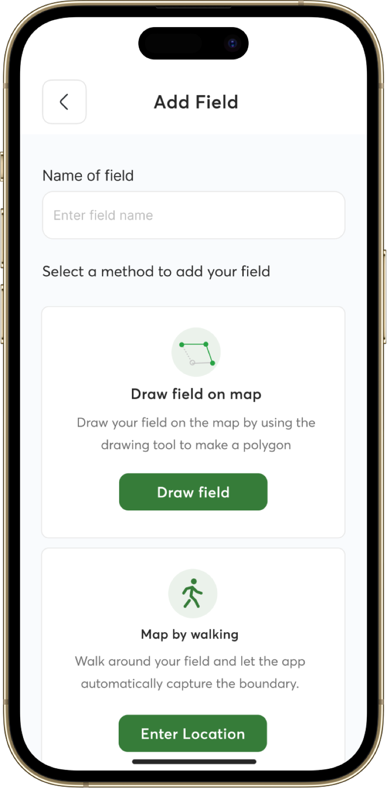
AgroPulse offers three ways to create a field boundary. Each suits a different situation.
1. Draw on the map
You look at a satellite image and tap points around the edge of the field to draw its outline. The area is calculated automatically.
Best for: fields that are clearly visible from above, such as a cleared plot next to a road, a fenced field, or a boundary along a stream or tree line. It also works from your living room, without walking anything.
Watch out for: satellite images can be a few years old, and field edges that are not visible, such as a plot inside a larger cleared area, are easy to draw wrongly. Zoom in as far as you can, and place your points on landmarks you can recognise.
2. GPS walk-around
You stand at one corner, start recording, and walk the edge of your field. The phone records your path and builds the boundary from it.
Best for: fields that are not clearly visible on the satellite image (under tree cover, or lacking clear edges), or whenever you want the most accurate measurement.
Tips for a good walk:
- Wait for a good signal. Start outdoors with a clear view of the sky, and give the phone a minute to settle until your location dot stops jumping around before you begin.
- Walk the actual boundary, along the edge of the planted area or the border markers, not the track beside it.
- Walk at a steady, slow pace. A walking pace gives the phone time to record enough points.
- Hold the phone in front of you, not in a pocket. Your body and a pocket can weaken the signal.
- Pause at the corners for a moment so that the corners are recorded sharply.
- Close the loop. End where you started.
- Avoid dense tree cover and the shade of tall buildings, where GPS drifts the most. If a stretch of the boundary is under heavy tree cover, you may do better to draw that part on the map.
- Repeat it. For an important field, walk it twice, on different days if possible. If the two areas agree to within a few percent, you can trust the number.
3. Upload existing boundaries
If a field has already been surveyed, or you have boundary data from another tool, you can upload it. Use this when you have a record that was made with better equipment than a phone.
Common mistakes
- Mapping the whole land, not the cropped area. If you plant only a part of a larger cleared area, map the planted block. Yield and input calculations are about the area under crop.
- Combining different crops in one field. If one part carries maize and another cassava, map them as separate fields so you can compare them.
- Not naming fields. "Field 1" is no help in six months. Use names that you and your workers use: "Behind the house", "Stream side", "Road field".
- Forgetting to update. If you clear more land, split a field or lose part of one, update the boundary. Old maps cause new errors.
- Trusting the number to the last decimal. Report a field as 0.81 ha, not 0.8137 ha. The extra digits are measurement noise.
Units: acres, hectares and plots
Measurements in Nigeria come in several units, and mixing them is a common source of confusion.
| Unit | Equals |
|---|---|
| 1 hectare | 10,000 m², about 2.47 acres |
| 1 acre | about 4,047 m², about 0.40 hectares |
| 1 plot | Varies by area. A plot of 50 ft × 100 ft is about 465 m², but check what is meant locally |
AgroPulse calculates the area for you from the boundary, so you do not have to convert by hand. When you compare a recommendation (for example, fertiliser per hectare) with your own field, make sure both are in the same unit.
From a map to better decisions
Once your fields are mapped, a few simple habits turn the map into money.
- Work out inputs per field. Multiply the recommended rate per hectare by the field's area, and buy that amount, with a small margin.
- Log the work against each field. Record irrigation, fertilising, weeding, pruning, pest control and disease control, with the cost. At the end of the season, you will know what each field cost.
- Record the harvest per field. Weigh or count what you harvest, and divide by the area to get yield per hectare.
- Compare seasons and fields. A field that does worse than its neighbour year after year is telling you something about soil, drainage or management.
- Keep the history. Over time the records become your best argument when asking for credit or joining a programme.
The map is the starting point. You can read about the rest of the toolkit on the AgroPulse page, and we cover the record-keeping side in Record-Keeping for Smallholder Farmers.
Start with one field
You do not need to map the whole farm in one afternoon. Choose the field that matters most, the one with your main crop, and map it with a GPS walk-around. Compare the area you get with what you believed. For many farmers, that first comparison is the moment they realise how much the old number was costing them.